

World Data Bank - Socioeconomic GIS & Telemetry
Comprehensive geospatial telemetry suite synthesizing live World Bank and WHO macroeconomic indicators.
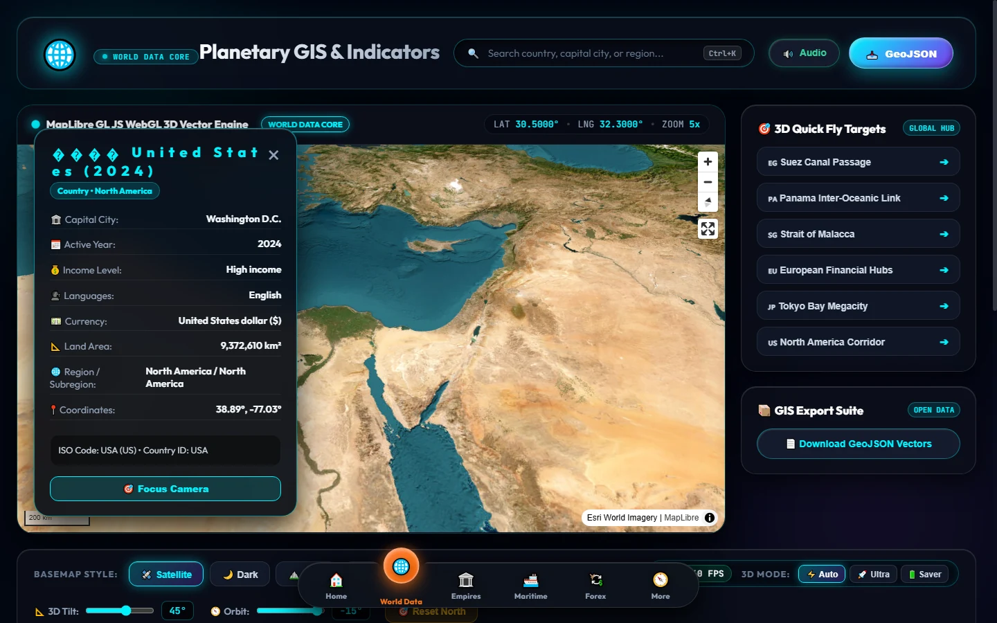
Description
An analytical dashboard aggregating global socioeconomic indicators across 200+ nations directly from the World Bank and World Health Organization telemetry APIs.
Provides multi-layered cartographic analysis with Esri satellite imagery, national GDP breakdowns, life expectancy correlations, population demographics, and renewable energy adoption.
Equipped with interactive choropleth shading, cross-country comparative time series, and instant data export capabilities for economic researchers and policy analysts.
Features
Live Multi-Source Telemetry
Automated data pipelines connecting to World Bank, WHO, and UN global statistical datasets.
Esri Satellite Integration
High-resolution commercial satellite base layers with administrative boundary rendering.
Macroeconomic Trend Modeling
Comparative historical charting for GDP per capita, inflation, health expenditure, and fertility rates.
Tech Stack