Historical Empires Cartography - Civilization Timeline
Interactive historical cartography engine mapping ancient empires and civilization territorial timelines.
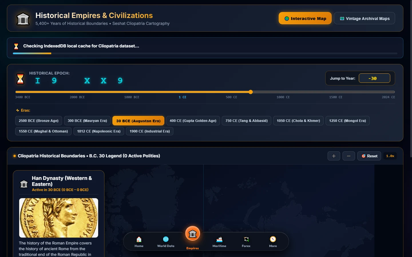
Description
A digital humanities cartographic platform that reconstructs the territorial expanse, political capitals, and cultural achievements of ancient and medieval empires.
Features a fluid Chronological Era Dial that lets users scrub through millenia of human civilization, observing territorial shifts, dynasty successions, and historical borders.
Backed by authoritative historical datasets including the Seshat Global History Databank, quantitative social complexity metrics, and peer-reviewed scholarly literature.
Features
Chronological Era Dial
Interactive scrubber to traverse millennia of geopolitical boundary shifts from 500 BCE to the modern era.
Empire Capital Orbs
Clickable georeferenced capital nodes displaying governance structure, administrative size, and demographics.
Scholarly Historiography
Embedded academic citations, Seshat databank references, and technological milestone chronicles.
Tech Stack