Country Locator - Geodesic Distance Deduction
Interactive spatial deduction game calculating geodesic distances and compass bearings to secret targets.
Description
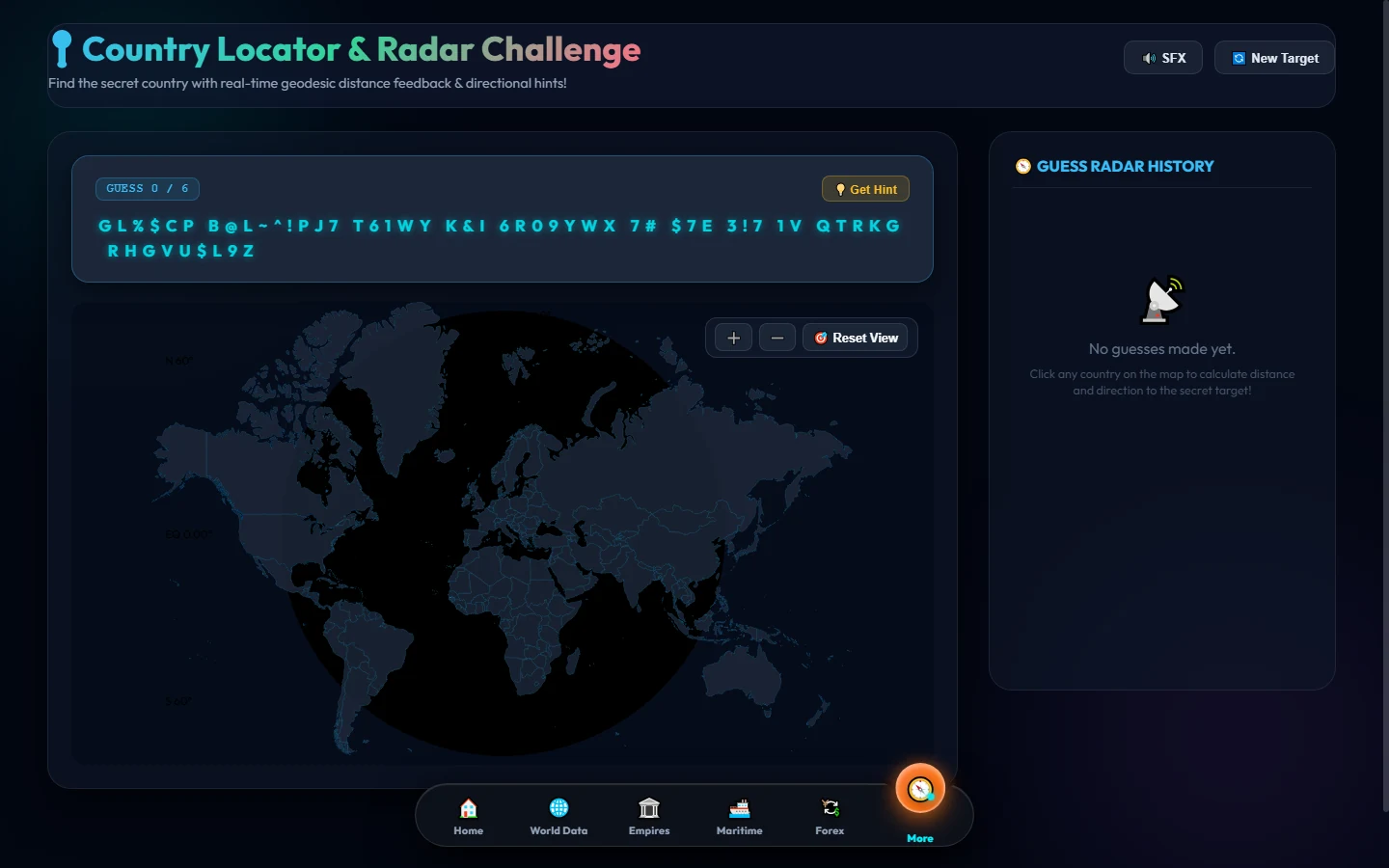
A strategic geographic guessing game where users deduce a mystery target nation by clicking on countries across an interactive world map.
Upon each guess, the mathematical engine calculates the exact Great-Circle geodesic distance in kilometers and the precise compass bearing (degrees) toward the secret target.
Equipped with progressive color-coded proximity rings, attempt counters, directional vector arrows, and geographical boundary feedback.
Features
Geodesic Math Engine
Computes Haversine great-circle distances and navigational azimuth bearings between country centroids.
Heatmap Proximity Shading
Visual feedback on whether each guess is freezing, warm, or scorching hot relative to the target nation.
Educational Deduction
Enhances mental models of global geopolitics, relative continent distances, and spatial orientation.
Tech Stack